
Bathymetry Survey
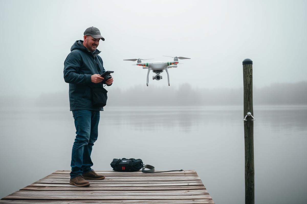
Thirty minutes with a specialist to scope your depth survey — then a quote for the real thing.
Turnaround: Booking: you schedule the call at checkout, and most calls happen within a few business days. Call: 30 minutes with a drone specialist. Quote: a written scope and price follows the call. Survey: scheduled against weather and season once you accept the quote. Survey windows are seasonal — see Pro Tips.
Scheduled serviceFlight booked within 2–3 weeks, weather permitting
$50